ZIP Code 90652 Quick Stats
| ZIP Code Name | Norwalk |
| Primary County | Los Angeles County |
| ZIP Code Type | PO Box |
| Current Time | 03:02:45 AM |
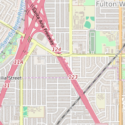
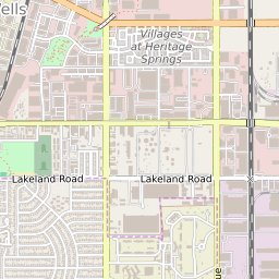
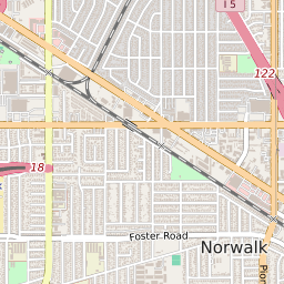
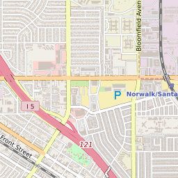

90652 Geography
| Coordinates | 33.91854477,-118.07269287 |
| Adjacent ZIP Codes | |
| Region | Metro Los Angeles |
| Metropolitan/Micropolitan Stat Area | Los Angeles-Long Beach-Anaheim, CA |
| Time Zone | Pacific Daylight Time |
| IANA Timezone | America/Los_Angeles |
90652 Schools
| School Districts in 90652 | |
| Elementary Schools in 90652 | |
| Middle Schools in 90652 | |
| High Schools in 90652 |