ZIP Code 90844 Quick Stats
| ZIP Code Name | Long Beach |
| Primary County | Los Angeles County |
| ZIP Code Type | Unique |
| Current Time | 09:31:45 AM |
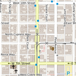
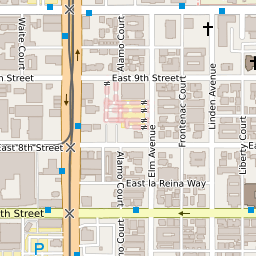
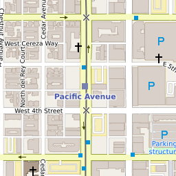
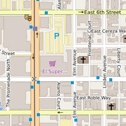
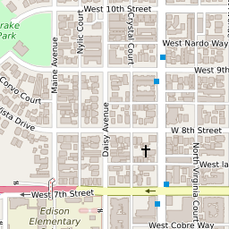
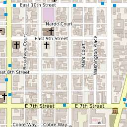
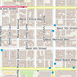
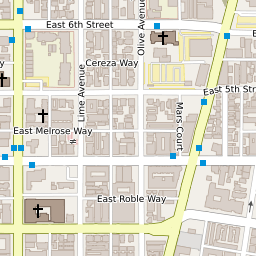
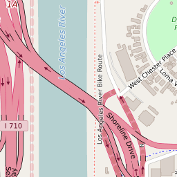
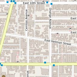
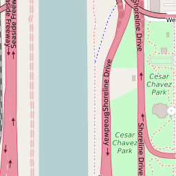
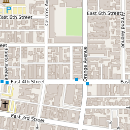
90844 Geography
| Coordinates | 33.76663589,-118.19931030 |
| Adjacent ZIP Codes | |
| Region | Metro Los Angeles |
| Metropolitan/Micropolitan Stat Area | Los Angeles-Long Beach-Anaheim, CA |
| Time Zone | Pacific Daylight Time |
| IANA Timezone | America/Los_Angeles |
| Area | 0.00321275 Square Miles |