ZIP Code 91046 Quick Stats
| ZIP Code Name | Verdugo City |
| Primary County | Los Angeles County |
| ZIP Code Type | PO Box |
| Population (2022) | 141 |
| Current Time | 07:50:33 AM |


91046 Demographics
The majority race/ethnicity residing in 91046 is White. The current unemployment level in 91046 is 5.0%.
| Population | 141 |
| Population Growth Rate | 21.25% |
| Population Density | 20,559 People per Square Mile |
| Total Households | 129 |
| Current Unemployment Rate (June 2025) | 5.0% |
| Majority Race/Ethnicty | White - 82.25% |
91046 Race/Ethnicty Breakdown
| Race/Ethnicty | Total | Percentage |
|---|---|---|
| White | 139 | 71.65% |
| Black | 0 | 0% |
| Hispanic | 0 | 0% |
| Asian | 30 | 15.46% |
| Native American | 0 | 0% |
| Hawaiian/Pac. Islander | 25 | 12.89% |
91046 Educational Attainment Levels
| Highest Education Level Attained | Total | Percentage |
|---|---|---|
| Less Than 1 Year of College | 0 | 0% |
| Bachelor Degree | 0 | 0% |
| High School Diploma | 61 | 70.93% |
| No High School Diploma | 0 | 0% |
| GED or Alternate | 0 | 0% |
| 1 or More Years of College | 25 | 29.07% |
| Associates Degree | 0 | 0% |
| Masters Degree | 0 | 0% |
| Professional Degree | 0 | 0% |
| Doctorate Degree | 0 | 0% |
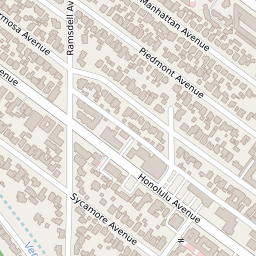
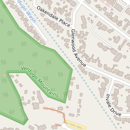
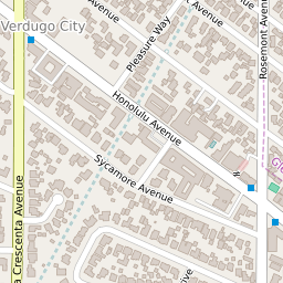
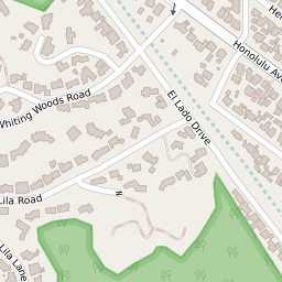
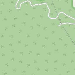
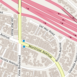
91046 Geography
| Coordinates | 34.21176910,-118.24053955 |
| Adjacent ZIP Codes | |
| Region | Metro Los Angeles |
| Metropolitan/Micropolitan Stat Area | Los Angeles-Long Beach-Anaheim, CA |
| Time Zone | Pacific Daylight Time |
| IANA Timezone | America/Los_Angeles |
| Area | 0.00685828 Square Miles |