ZIP Code 91222 Quick Stats
| ZIP Code Name | Glendale |
| Primary County | Los Angeles County |
| ZIP Code Type | PO Box |
| Current Time | 01:05:28 PM |
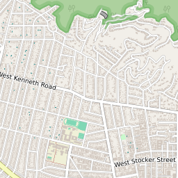
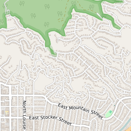
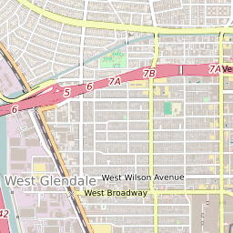
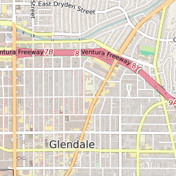

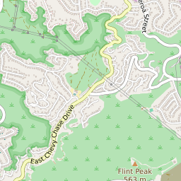

91222 Geography
| Coordinates | 34.16058731,-118.26436615 |
| Adjacent ZIP Codes | |
| Region | Metro Los Angeles |
| Metropolitan/Micropolitan Stat Area | Los Angeles-Long Beach-Anaheim, CA |
| Time Zone | Pacific Standard Time |
| IANA Timezone | America/Los_Angeles |
91222 Schools
| School Districts in 91222 | |
| Elementary Schools in 91222 | |
| Middle Schools in 91222 | |
| High Schools in 91222 |