ZIP Code 91225 Quick Stats
| ZIP Code Name | Glendale |
| Primary County | Los Angeles County |
| ZIP Code Type | PO Box |
| Current Time | 02:31:54 AM |
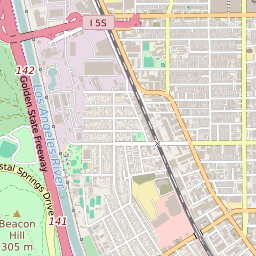
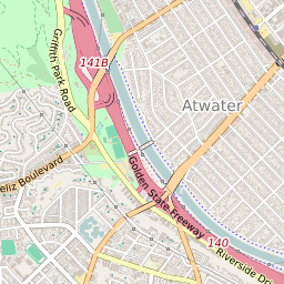
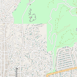


91225 Geography
| Coordinates | 34.13350677,-118.25390625 |
| Adjacent ZIP Codes | |
| Neighborhoods in 91225 | |
| Region | Metro Los Angeles |
| Metropolitan/Micropolitan Stat Area | Los Angeles-Long Beach-Anaheim, CA |
| Time Zone | Pacific Daylight Time |
| IANA Timezone | America/Los_Angeles |
91225 Schools
| School Districts in 91225 | |
| Elementary Schools in 91225 | |
| Middle Schools in 91225 | |
| High Schools in 91225 |