ZIP Code 93410 Quick Stats
| ZIP Code Name | San Luis Obispo |
| Primary County | San Luis Obispo County |
| ZIP Code Type | Standard |
| Population (2022) | 6,523 |
| Area Code(s) | 805 / 820 |
| Current Time | 10:57:43 AM |


93410 Demographics
The majority race/ethnicity residing in 93410 is White. The current unemployment level in 93410 is 5.0%.
| Population | 6,523 |
| Population Growth Rate | 0.00% |
| Population Density | 208,677 People per Square Mile |
| Current Unemployment Rate (June 2025) | 5.0% |
| Majority Race/Ethnicty | White - 63.17% |
93410 Race/Ethnicty Breakdown
| Race/Ethnicty | Total | Percentage |
|---|---|---|
| White | 4,636 | 63.14% |
| Black | 68 | 0.93% |
| Hispanic | 1,109 | 15.1% |
| Asian | 1,497 | 20.39% |
| Native American | 29 | 0.39% |
| Hawaiian/Pac. Islander | 3 | 0.04% |
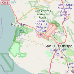
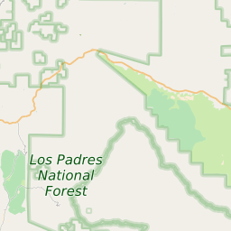
93410 Geography
| Coordinates | 35.29800415,-120.65572357 |
| Adjacent ZIP Codes | |
| Cities/Towns in 93410 | |
| Region | Metro Los Angeles |
| Metropolitan/Micropolitan Stat Area | San Luis Obispo-Paso Robles, CA |
| Time Zone | Pacific Daylight Time |
| IANA Timezone | America/Los_Angeles |
| Area | 0.03125881 Square Miles |
93410 Schools
| School Districts in 93410 | |
| Elementary Schools in 93410 | |
| Middle Schools in 93410 | |
| High Schools in 93410 |