ZIP Code 93599 Quick Stats
| ZIP Code Name | Palmdale |
| Primary County | Los Angeles County |
| ZIP Code Type | Unique |
| Area Code(s) | 661 |
| Current Time | 04:00:31 PM |
93599 Geography
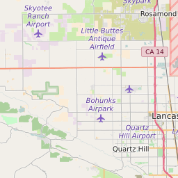
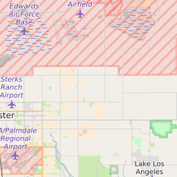
| Coordinates | 34.62036514,-118.12239075 |
| Adjacent ZIP Codes | |
| Region | Metro Los Angeles |
| Metropolitan/Micropolitan Stat Area | Los Angeles-Long Beach-Anaheim, CA |
| Time Zone | Pacific Daylight Time |
| IANA Timezone | America/Los_Angeles |
| Area | 0.88931792 Square Miles |
93599 Schools
| School Districts in 93599 | |
| Elementary Schools in 93599 | |
| Middle Schools in 93599 | |
| High Schools in 93599 |